ČESKÉ CENTRUM PRO VĚDU A SPOLEČNOST
aplikuje výsledky výzkumu do služeb a produktů
Poslední novinky
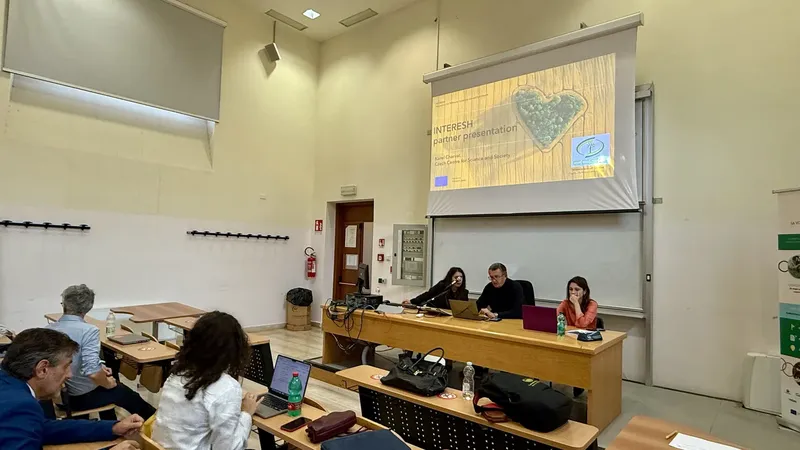
INTERESH Kick-off: Building on PoliRuralPlus for Soil Health Innovation
Foggia, 29–30 September 2025 — The Horizon Europe project INTERESH (Innovation for Territorial Cohesion around Soil Health) officially launched in Foggia under the coordination of the University of F
Read more
Přihlaste se do otevřené výzvy DEVELOP projektu PoliRuralPlus
Můžete se hlásit do Otevřené výzvy Develop, třetí z řady finančních příležitostí v rámci projektu PoliRuralPlus. Tato otevřená výzva je zaměřena na podporu projektů aplikovaných digitálních inovací,
Read more
Workshop v Klatovech představil propojení farem, turistiky a moderních technologií
V úterý 21.1.2025 měli v Klatovech nejen provozovatelé malých a středních farem možnost vyslechnout řadu referátů k problematice šetrné turistiky a její propagace v regionálním měřítku pomocí moderní
Read moreAktuální projekty
INTERESH
Start date: 1 September 2025 | End date: 31 August 2028The Apulia Region is renowned for its diverse agricultural output, a fundamental element of its economy. However, climate change poses signif
Read more
PoliruralPlus
Fostering Sustainable, Balanced, Equitable, Place-based and Inclusive Development of Rural-Urban Communities' Using Specific Spatial Enhanced Attractivenes Mapping ToolBox. PoliRuralPlus builds
Read more
DALIA - Danube
Start date: 1 January 2023 | End date: 31 December 2026This new lighthouse DALIA project is focused on the Danube River basin and fresh water, it is an innovation event, and it is supporting the
Read more